Vessels colliding with marine wildlife is a considerable conservation concern and important risk for maritime safety. Often, shipping lanes will pass through important habitats for certain species, generating significant disturbances such as noise, but also a very real risk of fatal collisions.
The management of these situations provides us with case studies of how different sectors can work together towards a common goal with multiple benefits for conservation and even the businesses involved.
The first and essential requirement is scientific data on marine habitats and species in areas with high levels of maritime traffic. This provides a baseline of information to work on, identifying high risk-areas for the development of measures. These may be remarkably specific areas of high biodiversity, and in some cases such as whale migrations, strictly seasonal.
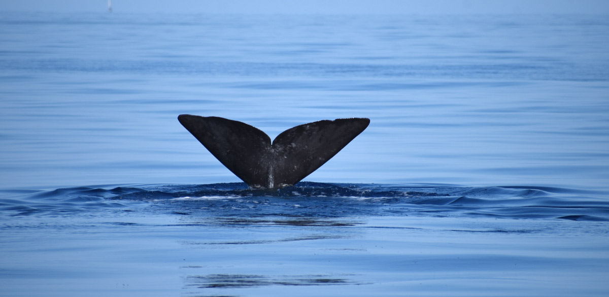
While they are not by any means the only creatures affected, ship strikes involving whales are of particular interest, with high risk for the animals and also ships. What solutions might there be to reduce this risk?
One of the most emblematic examples is that of the Stellwagen Bank marine protected area that overlaps with the main approaches to the harbour of Boston in Massachusetts. Here research institutions, the Boston Aquarium, the Stellwagen Bank management body and whale watching operators work together to inform ships and yachts about the position of whales in the shipping lanes. The information is passed to navigators by radio and even a “Whale alert” app. Similar management schemes have been replicated around the globe, mainly at whale sanctuaries and MPAs such as the Hawaiian Islands Humpback Whale National Marine Sanctuary, The Robson Bight Ecological Reserve, or the Ligurian Sea Sanctuary in the Mediterranean where the REPCET program has been operating for nearly a decade. This system enables real-time sharing of known positions of whales to protect them from collisions.
Another solution is to divert maritime traffic altogether, moving it away from areas with a higher risk for creatures such as turtles and whales. This was done in the Mediterranean in 2005, when Alnitak presented their MEDTOP database to the Spanish Merchant Navy to highlight the significant collision risk in the waters of the south of Almería. Alnitak made an ambitious proposal: moving the Cabo de Gata Traffic Separation Scheme 20 miles south, which was surprisingly well received by the Merchant Navy and Fisheries Ministry. A proposal was duly presented in early 2006 to the International Maritime Organisation (IMO), which was accepted due to the backing of the shipping sector. Only five months later this separation scheme entered into effect, drastically reducing vessel strike risk while also helping prevent dangerous manoeuvres and collision risks between ships due to traffic congestion. A true win for all involved!
The suitability and efficiency of these strategies depend mainly on the area and many other factors. Voluntary speed reductions can be beneficial when passing through whale and dolphin habitats while also saving valuable fuel, however when this was attempted in the Strait of Gibraltar, this had very limited value as ships prioritised getting through this narrow 11-kilometre passage quickly and safely.
An ideal scenario is to have real-time and relatively cost-efficient information systems on the presence of whales in a certain area, a dream which is becoming a reality in the eastern Mediterranean thanks to OceanCare, the Pelagos Cetacean Research Institute and the Institute of Applied and Computational Mathematics (FORTH). Here, a new system called “Save Whale” has been developed, which uses solar-powered high-tech buoys equipped with hydrophones that record the clicking sounds of the sperm whales, process them and send filtered data to a land-based analysis centre where computer models are used to detect, precisely localise the animals, and finally forward the localisation fixes to nearby ships, all in real time. Specifically developed software combines localisation results with shipping information from Marine Traffic, a leading ship tracking service provider, to assess collision risk. If a vessel is on a collision course with a whale, its captain can be warned well in advance, such that the ship slows down and/or changes course in time to avoid the whale(s).
Harmonising human activities with nature preservation is a very rewarding exercise, especially when the process involves all relevant stakeholders, as this will ensure the mitigation measures are long-lasting. The traffic separation schemes, companies becoming more environmentally aware, and developments such as the Save Whale system are an example of how conservation can be truly inclusive and generate tangible positive results for the Oceans and the human activities involved.


0 Comments